Rail
Multimedia
YouTube Playlist - Rail
Documents
12d Track Flyer
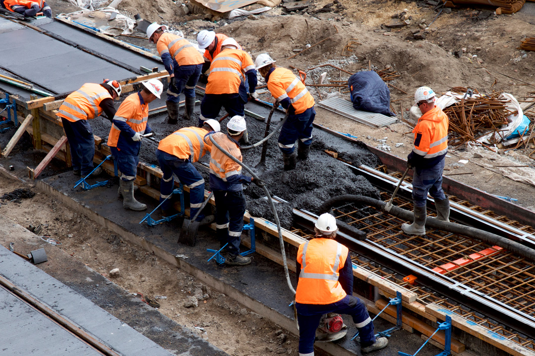
12d Track has been specifically designed for the survey, design and construction of light, heavy and high speed rail projects.
Extensive railway tools in 12d Track allow the rail designer to quickly and easily design their projects. These options are built on the existing 3D modelling and design tools available in 12d Model.
Surveying
Refer to ‘Surveying’ Dimension.
Earthworks
Carry out earthwork design and analysis. Created staged designs or combine using the “SuperTIN” capabilities of 12d Model. Develop mass haul diagrams and other project documentation.
Volume Calculations
Layered subgrade creations to assist with materials take-off. Multiple volume reporting options including length, area and exact methods.
Detail rail design
12d’s integrated railway design module can be utilised to develop detail railways designs. It is fully customisable to meet any design standard with numerous tools to assist with design automation. Tools include: customisable turnouts/switches (generating horizontal and vertical geometry), track slewing calculations, cant calculations and tools to easily calculate track centreline from ‘Left and Right Rail’ survey pick-ups.
Non-gravity services and subsurface utilities
Coordinate and grade all non-gravity services and subsurface utilities to ensure sufficient cover and clearance for all. A variety of string types may be used, including Super string conduits, Pipeline strings, Drainage strings and Super Alignments. Designs can be exported to GIS for future reference and use.
Drainage networks
Analyse, design, grade and size drainage networks (pits/pipes/culverts/channels). Integrated in 3-D with terrain model, rail design, crossing services, and hydrological models. HGL analysis available using the rational method and dynamic hydrograph methods. Use of 3rd party drainage analysis software is also supported.
Visualisation and presentation
The 3-D design is automatically/continuously created and can be viewed at any stage of the design process to provide instant real life representation of the project. This is enhanced by:
- the automatic application of textures to the design surface triangulation
- the draping of aerial photography on existing surfaces
- addition of features such as guardrails, line marking, street lighting, barriers, vehicles, trees and houses
walk and drive through the design with options to record the drive as a movie to share with clients and other stakeholders.
Project documentation
Automate the production of reports and drawings (plans, cross-sections and long-sections) and reduce drafting times.