dd39 - Page 2
The Surveyor’s role into the future
Australian Surveyors, and our spatial industry as a whole, are very advanced and have readily adopted state-of-the-art data capture equipment, methods, and management.
However, new technologies are enabling non surveyors to capture data and information. This is a dangerous situation, and one that requires careful monitoring to ensure the supplied spatial data is ‘fit for use’. For example, with the advent of drones, scanning and BIM, often a flat earth approach is used. On a small scale such as a building structure, this is sufficient, but when looking at data on a regional scale, this approach falls short. Surveyors are trained to ensure that all such data is ‘fit for purpose’. That is, the surveyors are trained to be the ‘data certifiers’.
Today’s data is no longer simply x,y,z coordinates, but now encompasses alignments, strings, services, surfaces, point clouds, and 3D models. Plus an ever-increasing amount of metadata and attributes, and QA information. In the future, all projects – design, construction, QA, As Constructed - will be totally digital and supplied to all clients, agencies and authorities as the one point of truth. Paper plans will only be a method of examining the digital data. The development and use of open standards such as ADAC and IFCs will help make this possible. With their background in handling such a variety of data, surveyors are the perfect ‘data managers’.
Some software companies such as 12d Solutions saw these trends and added 12d Field modules to the existing 12d Model software rather than making a plethora of separate programs. This means that ALL the options within 12d Model are available to the surveyor, not just some arbitrary subset. For in today’s world, it is impossible to know what a surveyor may be called on to do.
The NorthConnex tunnelling project in Sydney (NSW) is an excellent example of cutting-edge technology being used right now.
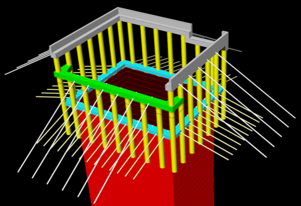
With the use of 12d Field and Leica’s MS50 and MS60 scan stations, the project’s surveyors are delivering previously unheard-of time savings in capture and subsequent QA reporting of the tunnel excavation. This project has 19 road headers (tunnelling machines) running simultaneously. 12d Model with the 12d Field module provides the tools to create the tunnel surface using Trimeshes for solid and surface modelling. The scanned excavated or finished tunnel sections are captured live into 12d Field, providing the contractor with live information for areas requiring rework, QA reporting, and as-constructed point clouds with rich attribute information. All survey data for the project is managed through the 12d Synergy data management system – another way in which the industry is rapidly changing, using data collaboration solutions. This is an intensely demanding environment for surveyors and tunnellers alike, but with 12d Software tools and the latest scanning survey equipment, a mammoth task has been made surmountable.
It is clear that the role of the Surveyor in the future will continue to evolve, as it has over the past 30 years. We’ve gone from field books and notes to large point cloud data sets. But the common theme is to manage and supply certified data to the industry. And with products such as 12d Model and 12d Synergy, Surveyors will continue to help users manage existing and future digital formats as they arise. So the future for Surveyors is very bright indeed. The sky is, in fact, not the limit!
—by Graham Wirth